Waterfront Revenue for Community Benefit
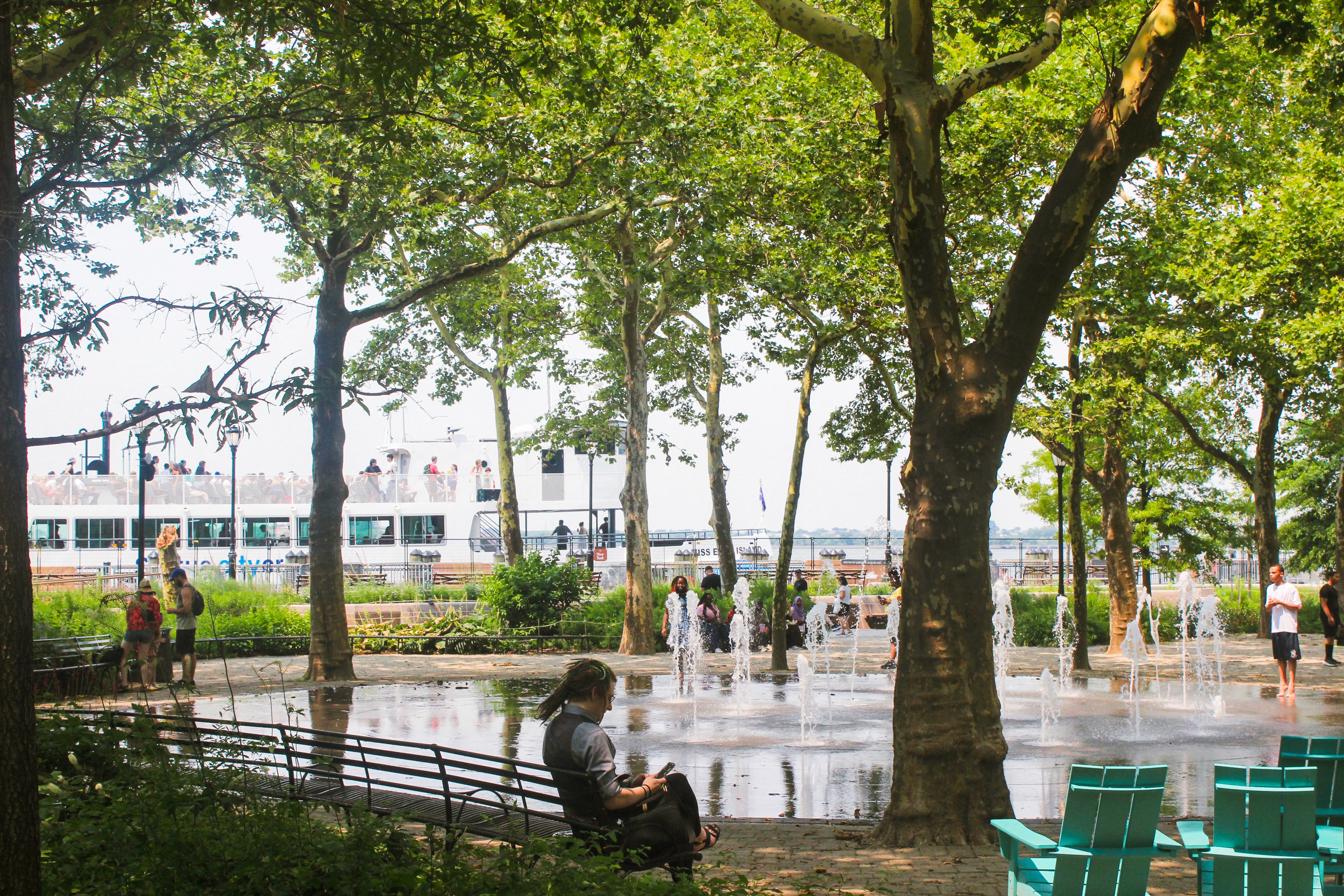
What it is:
Battery to Bridges’ own values call for reinvestment of revenues generated within the East River waterfront (estimated to be $4.5M) to a Special Fund at the NYC Parks Department. With this steady funding, we can look to assist Parks in maintenance, programming, and public improvements. As a not-for-profit we may be able to attract diverse public and private funding. This will promote transparent management; local employment and contracting; and long-term environmental stewardship.
Why it matters:
The East River waterfront from Montgomery Street to the Battery Maritime Building cannot be solved through isolated capital projects. Floodwater, pedestrian movement, ferry access, tourism, small-business activity, public housing adjacency, open-space need, and neighborhood identity all cross project boundaries.
The corridor includes some of New York City’s most valuable real estate and some of Lower Manhattan’s most open-space-constrained and affordability-pressured communities. It connects the Financial District, the Seaport, Chinatown, Two Bridges, and the Lower East Side. It serves residents, workers, seniors, public-housing communities, students, ferry passengers, tourists, small businesses, cultural institutions, and maritime users.
A segmented approach would treat the waterfront as a series of engineering problems. A holistic approach treats it as a civic system.
Battery to Bridges therefore advances five integrated outcomes:
Coastal resilience that protects people, property, infrastructure, and public assets.
Open-space equity that expands free and low-cost access to active and passive recreation.
Economic resilience that supports small businesses, local employment, visitor circulation, and neighborhood vitality.
Community resilience that gives local residents a meaningful role in decisions that shape their waterfront.
Environmental resilience that restores habitat, improves stormwater management, reduces heat, and reconnects people to the East River estuary.
This is not an appeal for a discretionary amenity. It is a practical framework for maximizing the return on an unavoidable public investment.


Other Initiatives


