Interim Waterfront Improvements

Large waterfront plans can take years.
Battery to Bridges also advocates for near-term public improvements while long-term planning continues. Temporary or interim uses might include pop-up recreation, seating, shade, public art, fitness programming, kayak demonstrations, waterfront education, weekend events, safe walking routes, and community meetings at the water’s edge. These are not substitutes for permanent parkland, but are still just as important and help demonstrate actionable progress. Below are some interim improvements Battery to Bridges supports:
Short-term priorities:
These are immediate actions that can improve public access, safety, programming, and waterfront use within approximately one year.
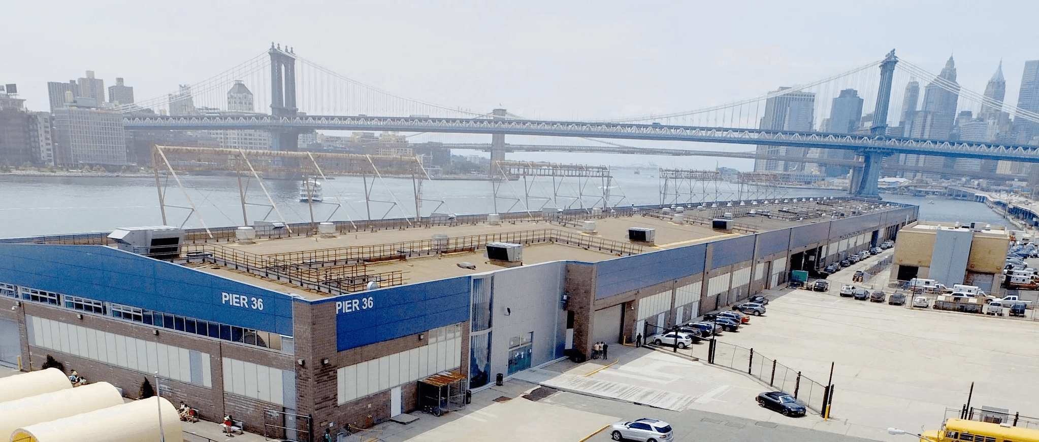
Relocate DSNY CD3 Garage off Pier 36 (+FDNY EMS)
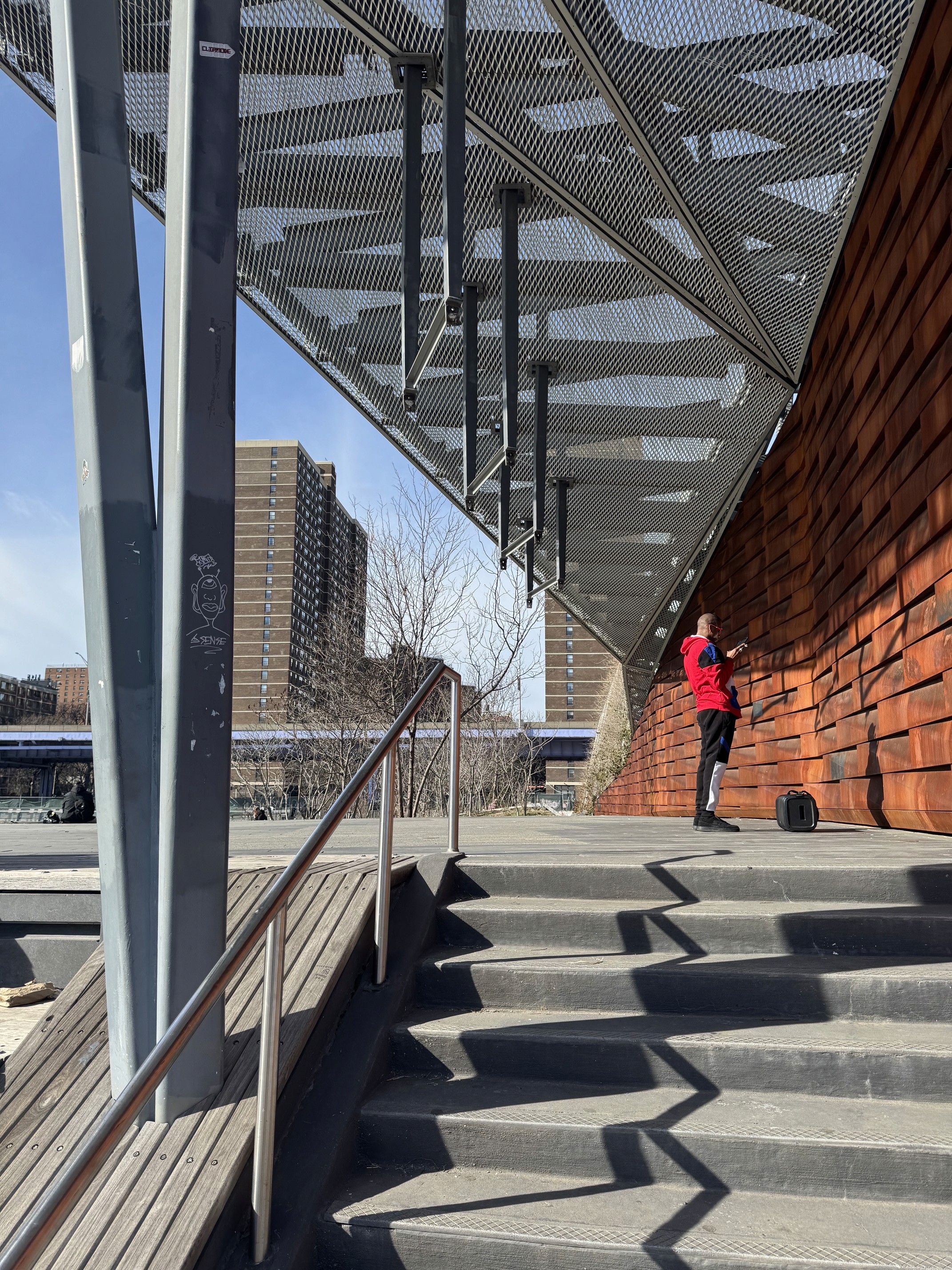
Repair the water supply and swings to Pier 35
Restore the pier's nonfunctioning water features and swings so that this heavily used public space can operate as originally designed.
Demolish and rebuild the New Market Pier platform
Fund BtoBC interim programming for the area under the FDR Viaduct
Provide operating and program funding for BtoBC to activate underused areas beneath the FDR and on Pier 25 and Pier 35 with recreation, cultural events, environmental education, and community programming.
Create and maintain ecological zones and habitat restoration both inland and in-water to enhance health of nearby residents, fauna and the aquatic environment.
Maintain and repair the Jerry Driscoll Walk
Undertake immediate repairs, cleaning, lighting improvements, and ongoing maintenance to preserve this important waterfront pedestrian connection.
Lease office space to BtoBC at Pier 15 Pavilion in partnership with Dock NYC
Provide BtoBC with an accessible waterfront office and community meeting space from which it can coordinate programming at Piers 35 and 15, partnerships, and public engagement.
Designate BtoBC to oversee public programming at Pier 15
Authorize BtoBC to coordinate consistent, community-oriented programming that makes full public use of Pier 15 and its upper deck.
Reaffirm public access agreement to the Battery Maritime Building (outdoor and indoor spaces)
Install clear signage and establish operating procedures confirming that the restrooms and the café within the publicly owned Battery Maritime Building are available to waterfront visitors.
Mid-term priorities:
These projects require planning, interagency coordination, capital funding, or resolution of existing legal and operational constraints.
Remove all vehicle parking under the FDR Viaduct
Relocate government, employee, and commercial parking so that publicly owned waterfront land can be reclaimed for recreation, pedestrian circulation, community uses, and resilient open space.
Landscape and green the esplanade and waterfront wherever possible.
Remove or replace the abandoned pier pilings adjacent to Brooklyn Bridge Beach
Remove hazardous remnants of the former pier to improve safety, views, shoreline access, and the potential for swimming, boating, and other water-dependent recreation.
Repurpose public open space at Pier 15 at the conclusion of the Watermark lawsuit
Return any public space to active public use through landscaping, seating, recreation, and connections to the surrounding waterfront esplanade.
Analysis of the structural integrity of the entirety of the public esplanade and create a usage plan to minimize and mitigate further damage and maximize programming and opportunities of the public realm.
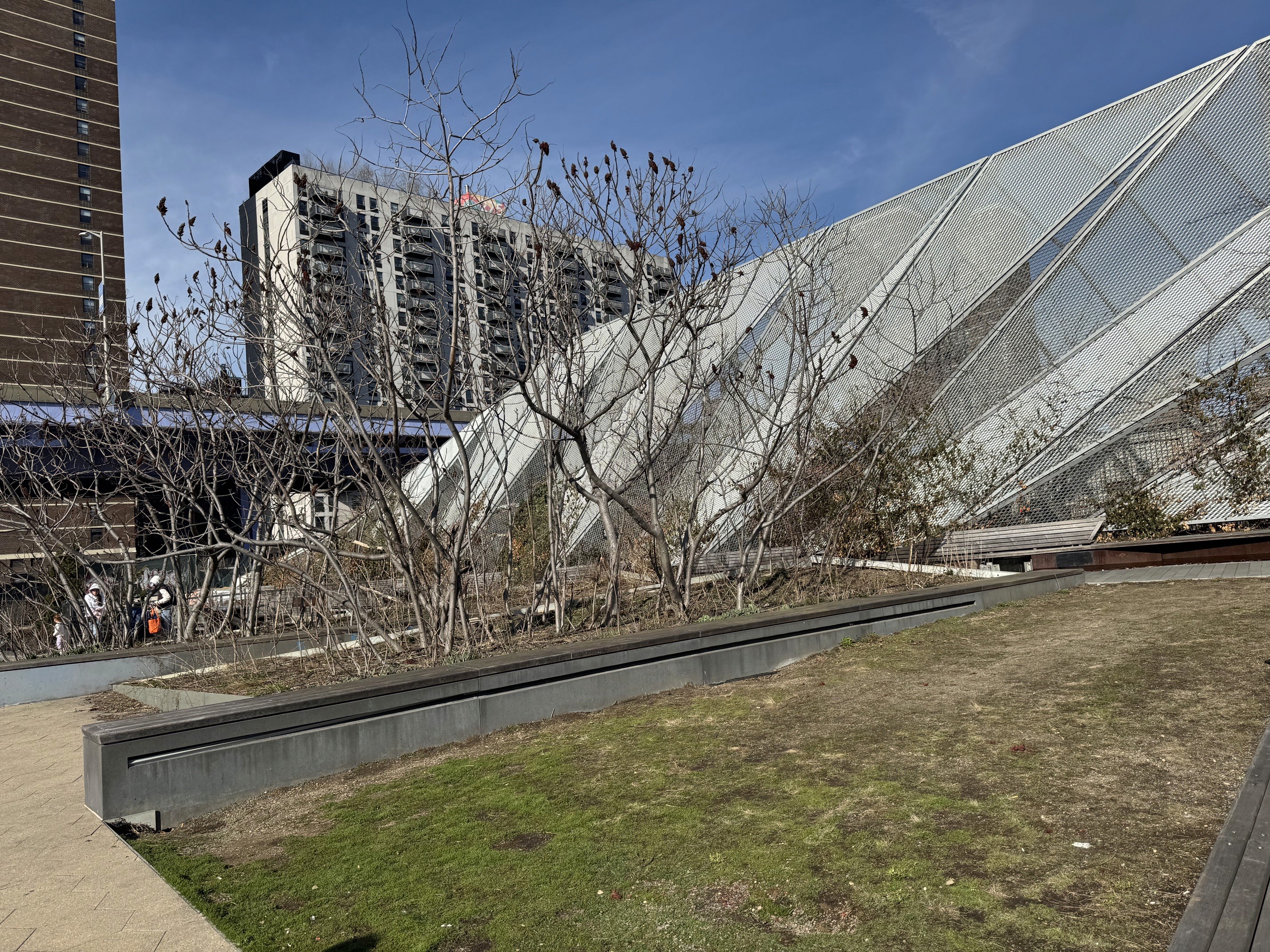
Evaluate/enhance the marine habitat around Pier 35


Other Initiatives