Pier 35 and Pier 36 Public Access
What it is:
Should a rare public waterfront pier remain dominated by sanitation truck operations as Lower Manhattan grows and public open space remains scarce?
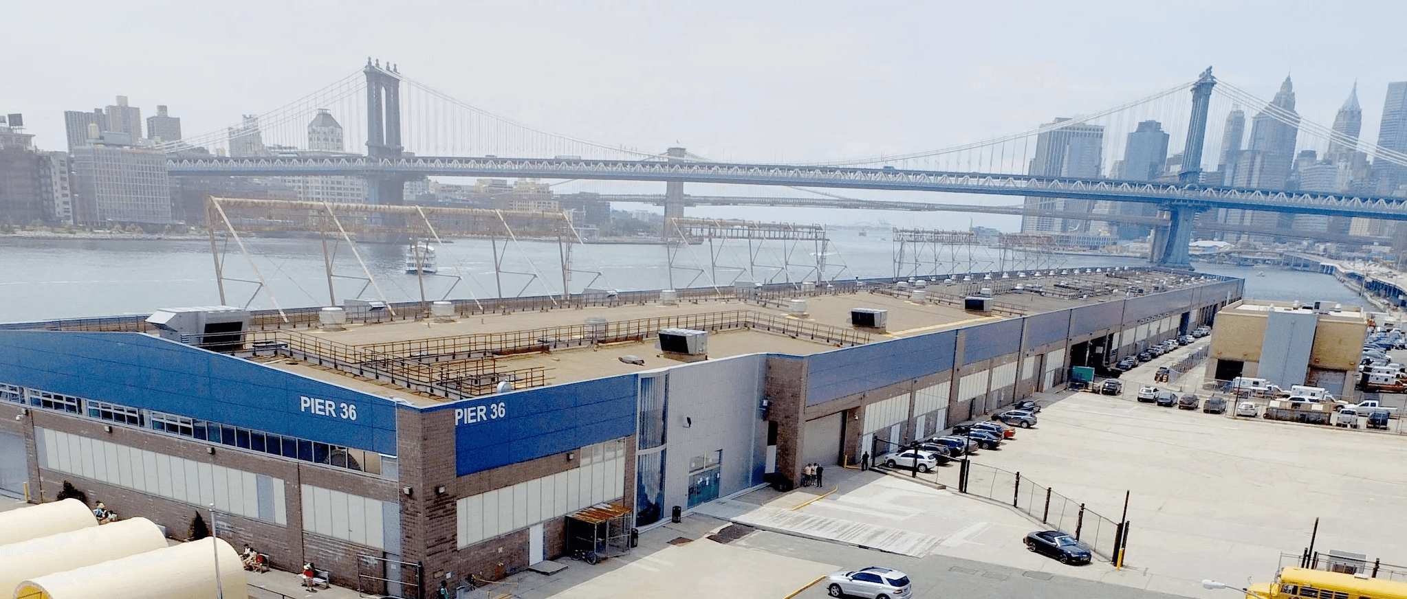
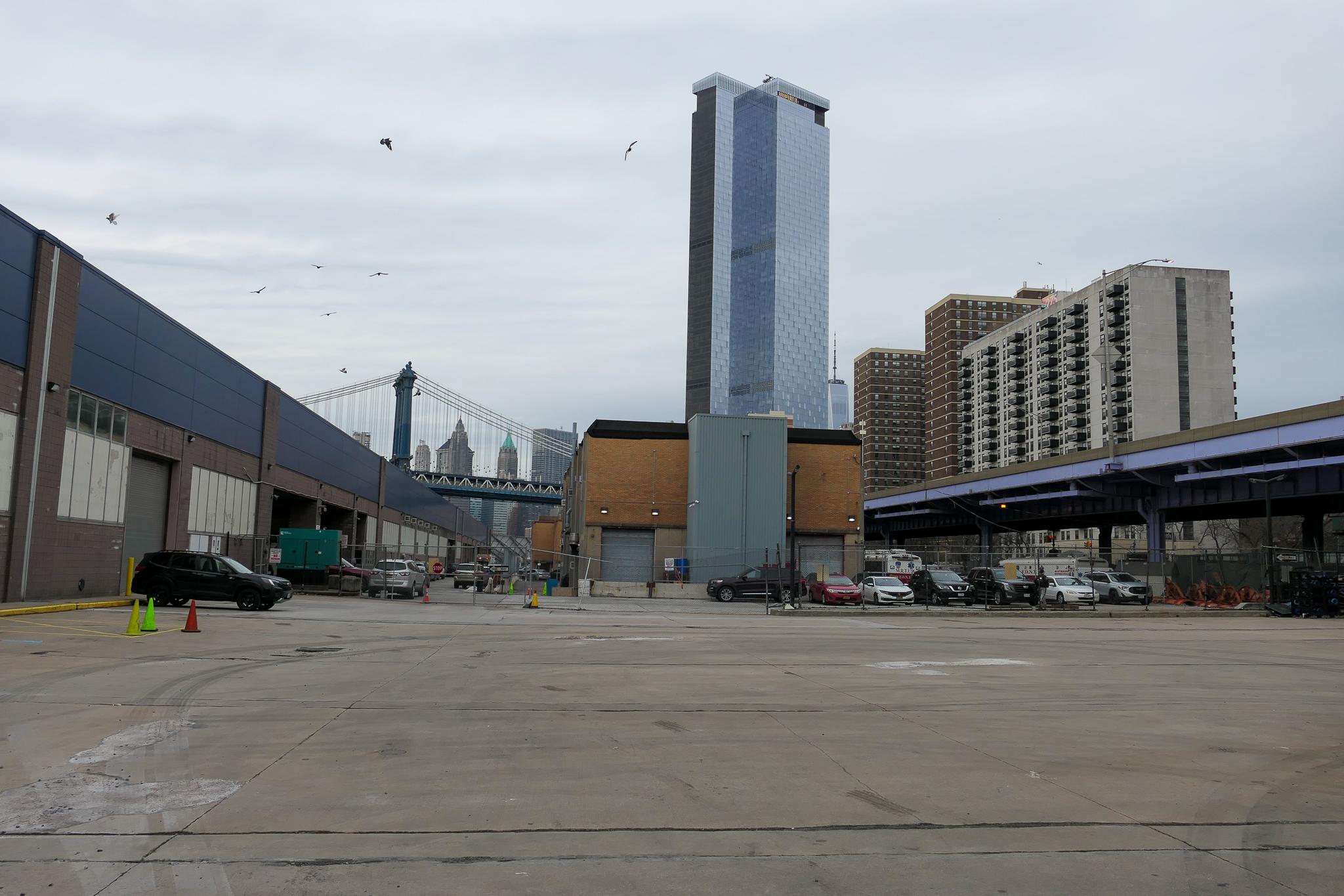
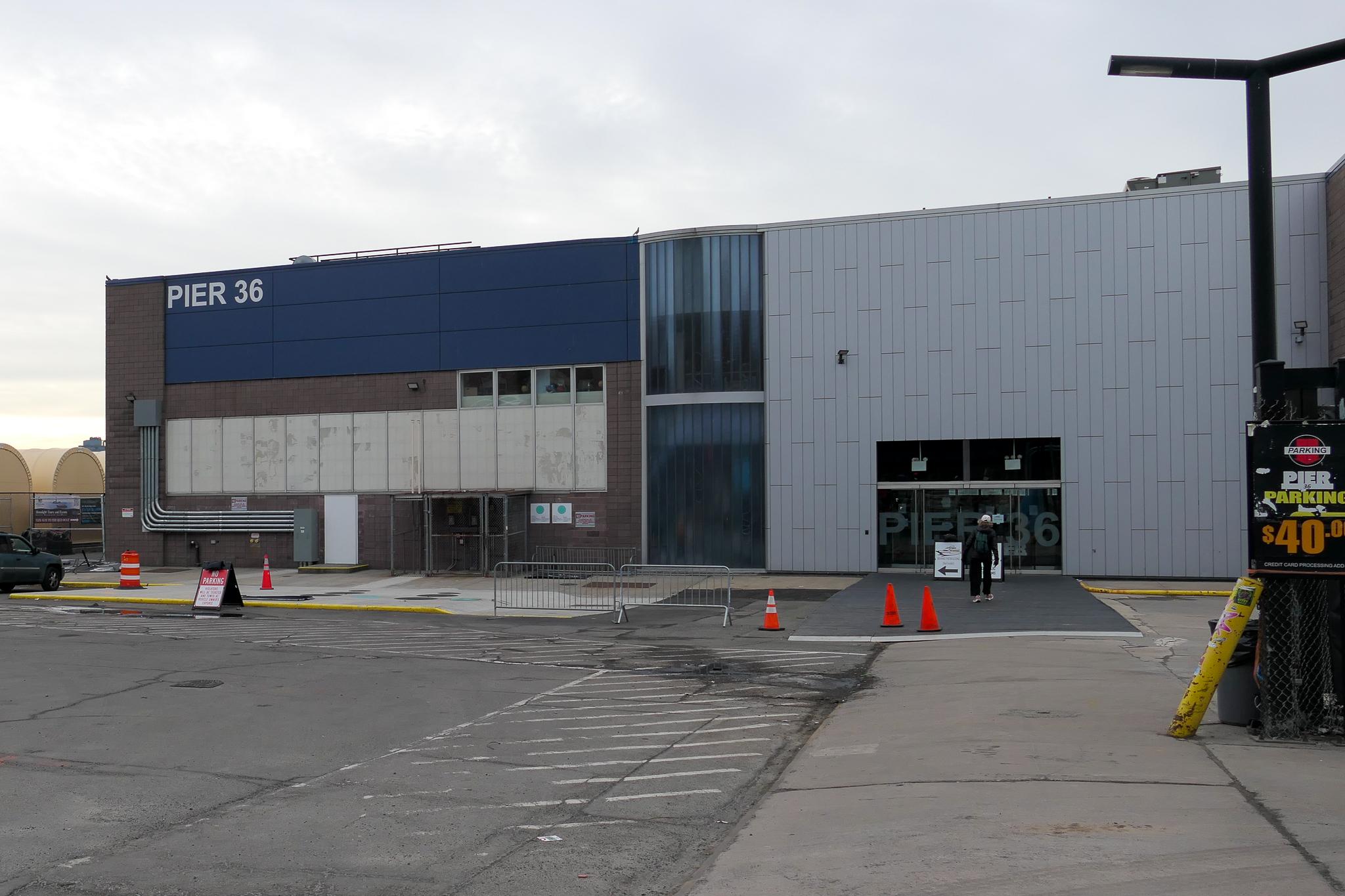
Pier 36 is currently occupied by a variety of uses that are not water dependent. The New York Department of Sanitation’s (DSNY) garages, truck storage, and operations take up roughly ⅔ of the pier, and other operations such as the FDNY EMS and an asphalt plant also take up valuable waterfront space. Even Basketball City, the community space taking up the remaining ⅓ of the pier, is not publicly free and open and uses valuable real estate for parking.
Why it matters:
More people are sharing too little parkland. New development, office-to-residential conversion, and increased waterfront use should come with real public amenities. The issue is most acute for neighborhoods close to the East River, where public open space is limited and unevenly distributed. Growth without usable open space leaves existing residents with less access, more crowding, and fewer benefits from waterfront investment.
Take a look at the Hudson River Park: when vehicle storage, sanitation operations, and industrial use was relocated, this unlocked the opportunity to build a continuous public waterfront park. Pier 36 should be evaluated through the same lens: scarce waterfront land should serve the public rather than uses that do not require the river.
Who it serves:
Families, seniors, renters, public housing residents, workers, students, and visitors seeking free public indoor and outdoor activity space, not only private event users.
What it could include:
A place to walk, sit, exercise, gather, learn, play, launch boats, fish, experience the river, and stay safer during extreme weather.
BtoBC position:
The waterfront should function as neighborhood infrastructure.
How residents can help:
Sign up for updates and ask for community input before long-term waterfront commitments are renewed or extended.
Other Initiatives


