Water-Dependent and Water-Enhancing Uses

What it is:
In New York City planning terminology, waterfront-dependent uses require direct access to the water to function, while waterfront-enhancing uses are recreational, cultural, entertainment, or retail activities that increase public use and enjoyment of the water’s edge.
Encouraging the development of both waterfront-dependent and waterfront-enhancing uses along the East River can help residents strengthen their relationship with their neighborhood, create a multi-purpose waterfront space, and even improve the river itself.
Why it matters:
The East River is not merely a scenic backdrop: With the right direction and execution, it becomes a place for transportation, recreation, education, maritime activity, ecological restoration, and direct public contact with the water.
Waterfront-dependent uses:
These uses are ones that could not operate effectively away from the river. Here are a list of waterfront-dependent examples we envision for the lower Manhattan waterfront:
Ferry and water-taxi landings
Public boat docks and “town docks”
Kayak, canoe, paddleboard, and rowing launches
Community boating and sailing programs
Marinas and transient boat slips
Excursion, sightseeing, and dinner-cruise vessels
Historic ships and visiting vessels
Fishing piers and fishing-boat facilities
Swimming areas and floating pools
Boat rentals and boat-sharing facilities
Marine rescue, harbor patrol, and emergency-access docks
Boat repair, maintenance, fueling, and marine supply
Freight, cargo, barge, and marine terminal operations
Dredging, pile-driving, dock construction, and other marine services
Research vessels and water-quality monitoring stations
Environmental education conducted from boats or floating classrooms
Floating structures that support boating or maritime activity
Ecological and water-enhancement uses:
These uses improve the river itself or strengthen the connection between land and water. Here are a list of ecological and water-enhancement examples we envision for the lower Manhattan waterfront:
Living shorelines and restored wetlands
Oyster reefs and mussel habitats
Tidal marshes and intertidal planting
Fish habitat and habitat-supporting structures
Floating wetlands and ecological islands
Stormwater gardens and bioswales
Water-quality testing and citizen-science stations
Shoreline stabilization using natural materials
Habitat-friendly seawalls and textured bulkheads
Public access to tidal zones and river ecology
Environmental education and stewardship programs
Combined-sewer overflow mitigation and stormwater retention
Waterfront-enhancing uses:
These uses do not necessarily require the river to function, but become more valuable and meaningful when located beside it. Here are a list of waterfront-enhancing examples we envision for the lower Manhattan waterfront:
Waterfront parks, lawns, and planted open space
Continuous esplanades and promenades
Running, walking, and cycling paths
Restaurants, cafés, and refreshment kiosks
Public markets and small-scale retail
Maritime museums and interpretive centers
Community galleries and cultural spaces
Outdoor performance and event areas
Playgrounds and recreation courts
Picnic areas, seating terraces, and overlooks
Public restrooms, changing rooms, and visitor facilities
Educational classrooms and community meeting rooms
Boat-viewing areas and harbor observation platforms
Public art related to the river, harbor, or maritime history
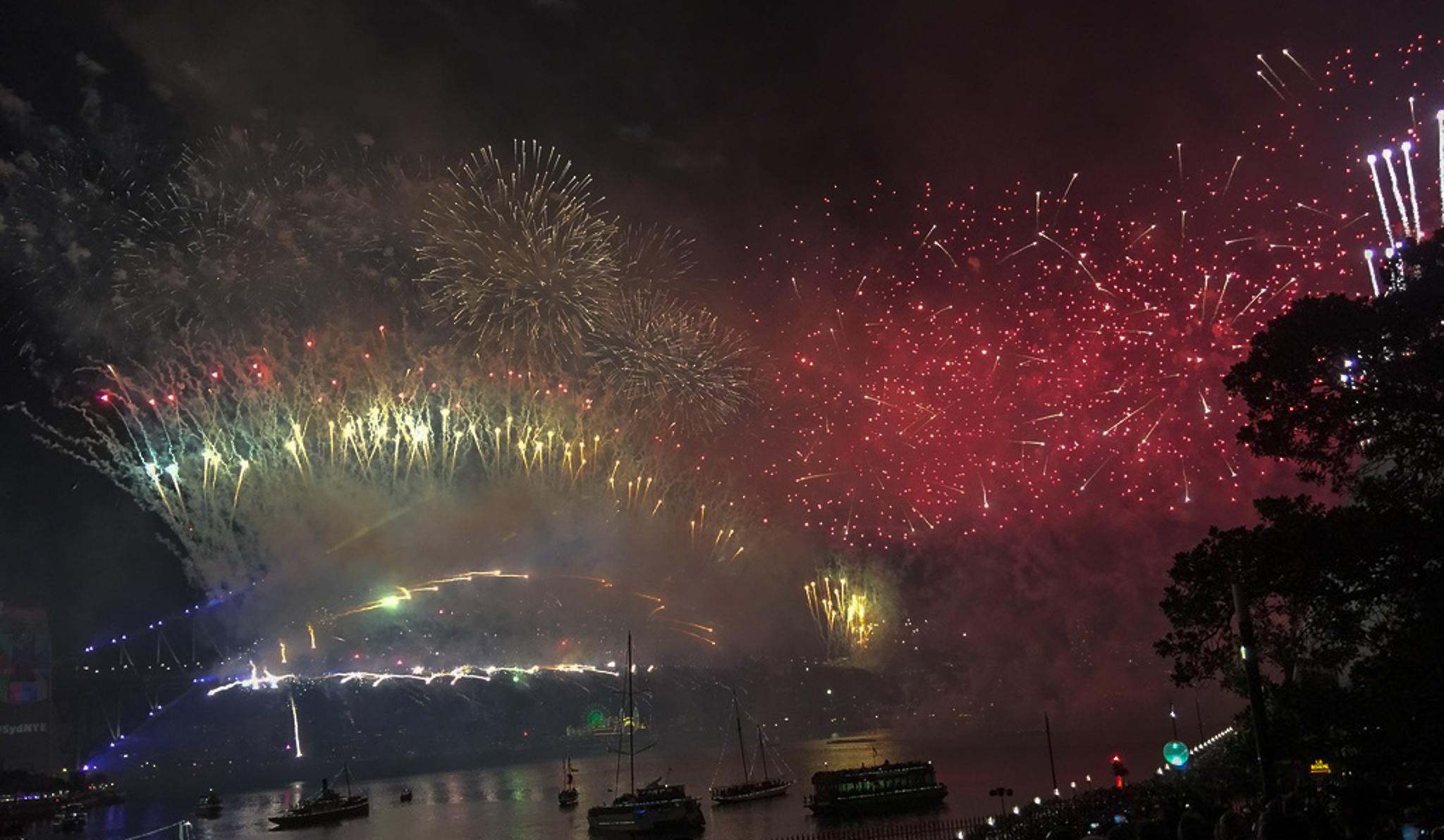
Seasonal festivals, boat shows, and waterfront celebrations
Programming such as concerts, lectures, fitness classes, and film screenings


Other Initiatives


