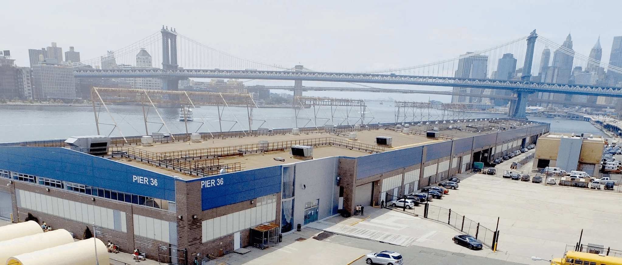
Brooklyn Bridge Beach
What it is:
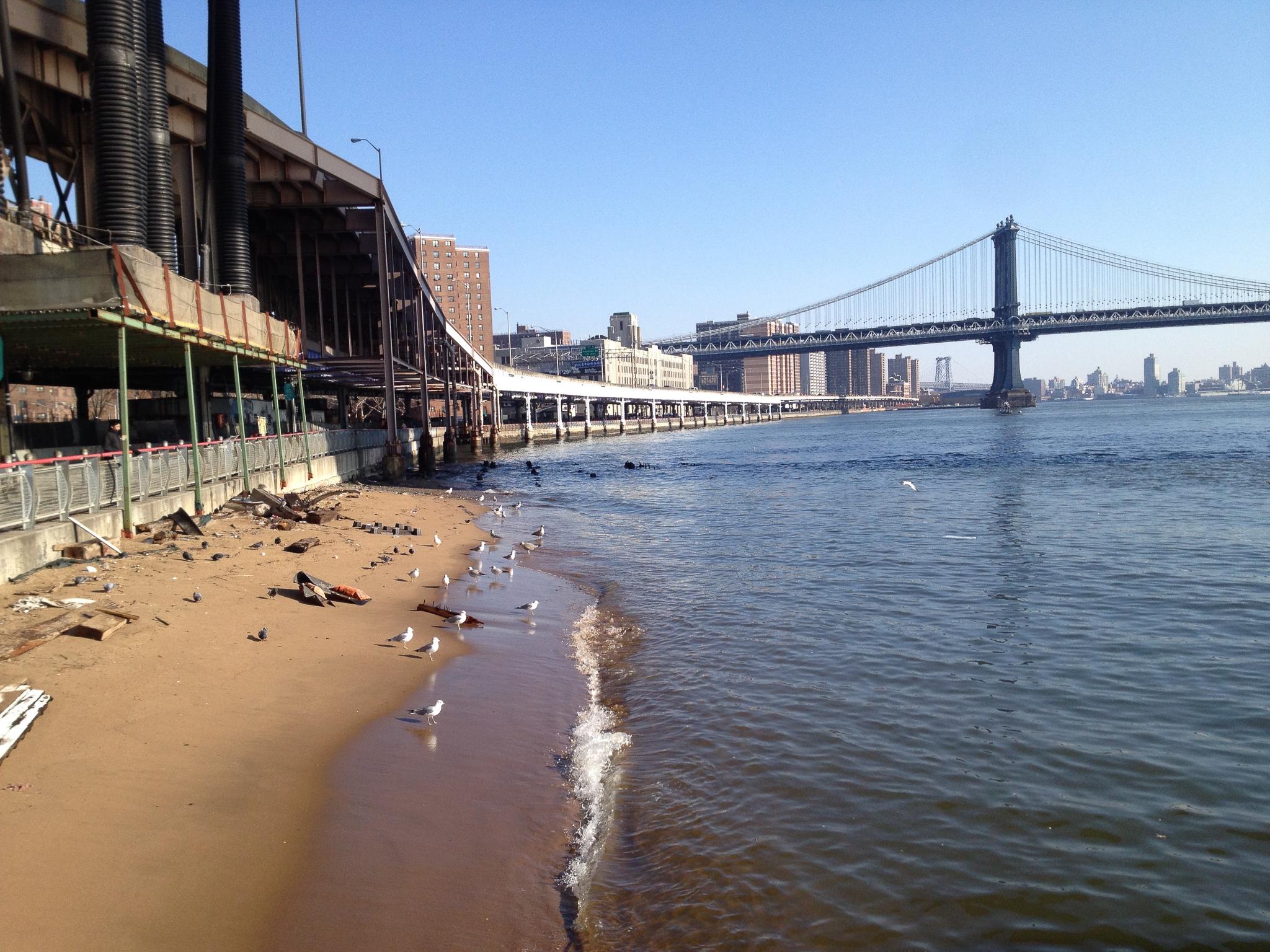
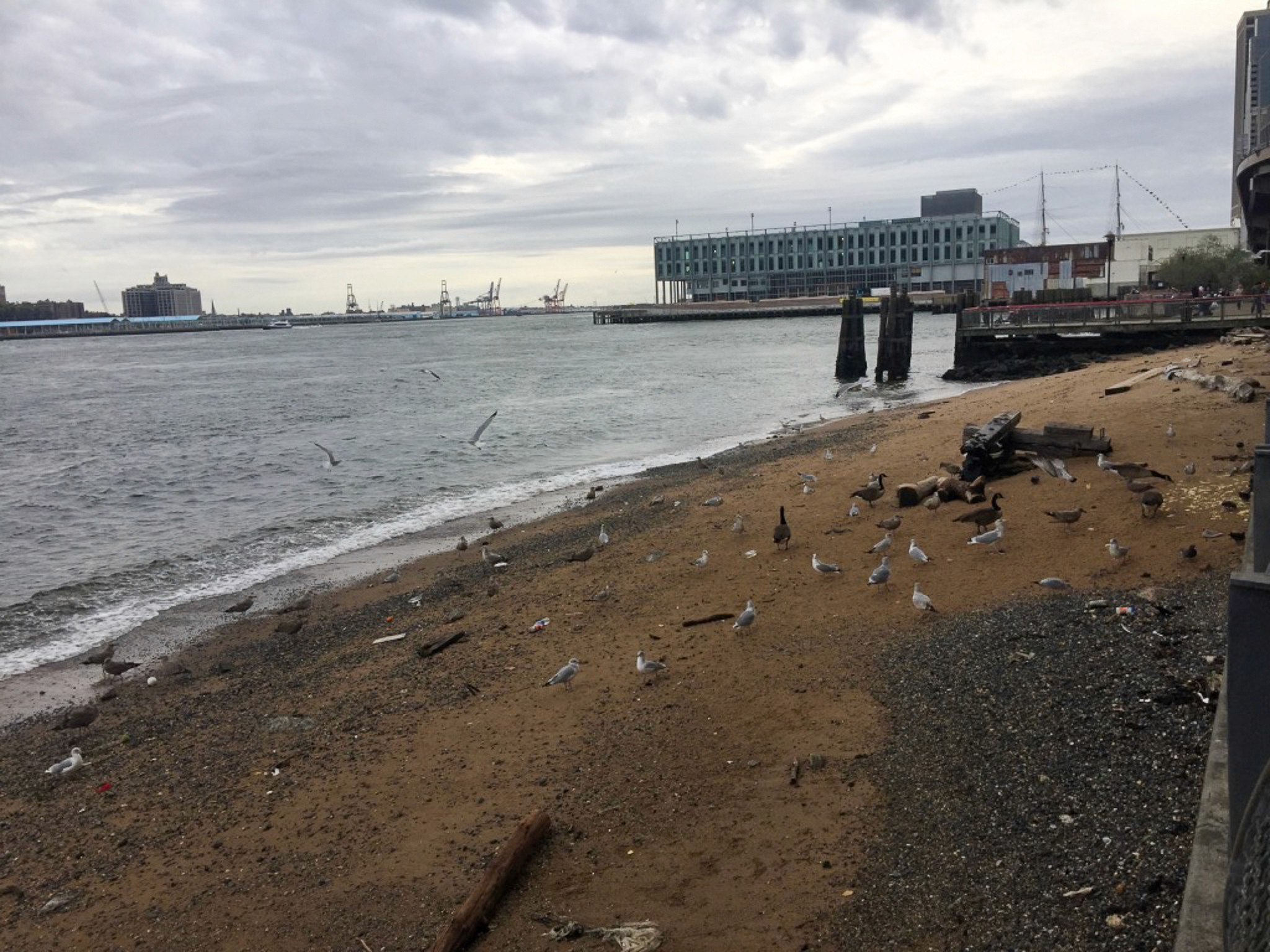
A rare natural shoreline exists beneath one of New York’s most iconic bridges - the Brooklyn Bridge. We believe this underused shoreline should be opened as public space to residents, schools, and visitors, and not as an unsafe swimming promise.
A beach can be a public shoreline, a classroom, a civic room and a resiliency edge — even before it is ever a swimming beach. To successfully open the Brooklyn Bridge Beach, there should be managed access with no swimming and clear operational limits, and community leadership should be paired with a public operator capable of capital delivery.
Why it matters:
The surrounding communities need low-cost, outdoor, water-adjacent recreation.
Resiliency projects should create usable public space, not only protective infrastructure. The East River edge will be redesigned, so the community should help define what public benefit looks like.
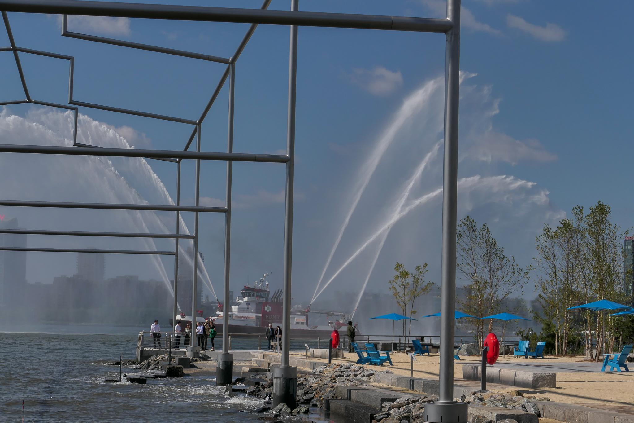
Take a look at the Gansevoort Peninsula: Manhattan’s first public beachfront succeeded by balancing beach identity with operational realism. It features a sandy shoreline, water access for kayakers and small boaters, a salt marsh and oyster habitat, an athletic field, and seating. It is a prime example that we can successfully create a public shoreline for lounging and river access without it having to be a bathing beach.
Who it serves:
Families, residents, schools, and visitors looking to take advantage of water-based recreation and wanting to engage with their local community.
What it could include:
An open shoreline with sand/pebble access, terraces, shade, seating, and viewing.
Quiet recreation with fishing, sketching, school visits, and cultural interpretation.
Water-dependent uses such as potential kayak landing (only after vessel/current study).
A living shoreline with marsh/tide-pool pilots, oysters, native planting, and habitat signage.
Operations such as gates, lighting, restrooms, maintenance storage, and supervised concessions.
BtoBC position:
The area under the Brooklyn Bridge on the Manhattan side should not be treated as leftover space - make the beach visible, safe and useful while the larger waterfront institution is created.
A community nonprofit, such as Battery to Bridges, should shape and defend the mission; a public operator should carry construction, procurement, property and operating risk. This formal partnership agreement is essential for success.
How residents can help:
Sign up for updates, attend community and relevant city hall meetings, and support realistic project phasing that scales up as safety, permits, and funding allow.

Other Initiatives