The Brooklyn Bridge Beach: A Feasibility Study
News
Planning updates

Tucked beneath the Brooklyn Bridge on Manhattan's East River shore sits a small, naturally occurring sandy beach - one of the only stretches of undeveloped shoreline in a waterfront that's over 94% hard bulkhead and pile foundation.
The East River Blueway Plan
Brooklyn Bridge Beach was singled out as a priority site in the East River Blueway Plan, a broader vision to reconnect New Yorkers with the East River waterfront between the Brooklyn Bridge and 38th Street. The plan imagined a restoration of the natural shoreline, adding buffers to calm waves, and creating safe access for both kayak landings and swimming - complete with steps down to the sand, a shallow wading pool, and a small beachside concession stand.
It's an appealing idea: this is the only naturally occurring beach along the whole stretch, and it's already informally used by kayakers as a landing spot.
The Reality: An Area Shaped by Strong Currents
The study found that the East River at this location can be a difficult environment to build recreation around:
Currents are fast: peak currents near the Brooklyn Bridge reach 3.4 knots - well beyond comfortable limits for casual kayaking or swimming.
The beach is naturally unstable: it exists in a constant state of flux, shaped by sediment transport, tidal flows, and boat wakes. Any attempt to reshape or expand it artificially would likely be undone by natural forces unless paired with structural interventions.
Old hazards lurk beneath the sand: remnants of 19th and 20th-century pier structures, including abandoned concrete piles with exposed rebar, are still visible at low tide and would need to be removed before the site could be considered safe for public use.
Sea levels are rising: according to Army Corps of Engineers and NYC PlaNYC projections, the study found the beach could see sea level rise over the coming decades, shrinking the amount of exposed beach and time available for use each day.
It sits in a high-risk flood zone: FEMA maps place the site in a VE zone - the designation for coastal areas exposed to storm-driven wave action, not just flooding.
Water Quality Is a Major Concern
A big concern lies in the fact that the Brooklyn Bridge Beach sits directly between two combined sewer outfalls (CSOs). This means that during storm events, untreated sewage overflow discharges into the river on either side of the beach. Combined with the water quality issues typical of the lower East River, the study concluded that direct water contact activities like swimming aren't currently advisable at this location. Instead, the report recommends focusing on dry beach uses such as sunning, fishing access, and small-boat launching rather than swimming.
Boat Traffic Adds Another Layer of Risk
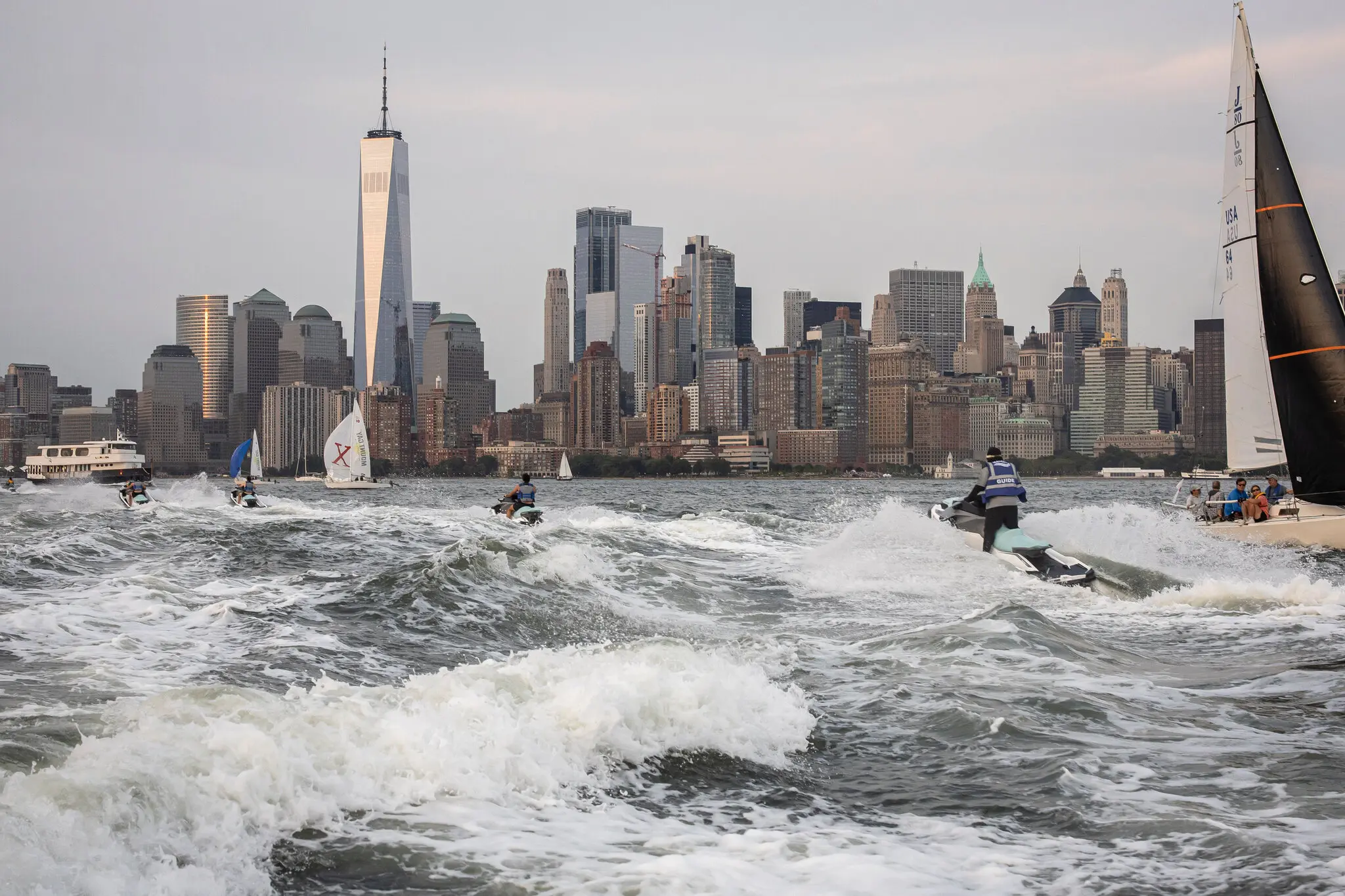
The East River is a busy commercial and recreational corridor: tugboats, ferries, deep-draft ships, and law enforcement vessels all pass close by. The beach also sits near a U.S. Coast Guard security zone around the bridge's western pier. Any public access plan would need to keep swimmers and small boats clear of this navigation channel.
Environmental and Regulatory Hurdles
Because the East River here has fast currents and shifting sand that make it inhospitable to most marine life, any hard structures could actually improve habitat conditions by creating calmer, more stable areas. However, permitting for breakwaters, fill, or artificial islands would trigger review under the federal Clean Water Act and New York State tidal wetlands regulations, and could be a lengthy, complicated process.
The Bottom Line
The study's conclusion was measured but clear: allowing public swimming or small-boat launching at Brooklyn Bridge Beach isn't recommended without significant changes to the site. Strong currents, old submerged debris, nearby sewer outfalls, and heavy vessel traffic combined make it a hazardous place for direct water access as it exists today.
However, that doesn't mean the site has no future. The report points to lower-cost, lower-risk improvements that could still deliver public value:
Improvements like better sidewalks, signage, and fishing overlooks
Small ecological enhancements (like artificial reef structures) that improve habitat without requiring public water access
Shoreline plantings similar to those at nearby Brooklyn Bridge Park
More ambitious interventions - breakwaters, wave fences, or artificial islands - remain technically possible, but would require detailed hydrodynamic and sediment transport modeling, significant investment, and navigating a complex regulatory landscape before they could move forward.
Though the Brooklyn Bridge Beach may not be ready to become the new swimming spot just yet, with careful planning, it could still become a safer, more welcoming piece on the city's waterfront.
Around the warterfront